April 9, 2017
The forecast for today was cool and cloudy, it was correct. Average temperature today was 11 degrees, chilly. We left the hotel at 8:15 and headed down the path to follow the Saejae Route. This section of the Four Rivers Trail is almost all on-road, rural roads or farm roads and is the hilliest part of the route. The overall climbing was 689 metres and the highest point was at Ihwaryeong at 531 metres.

The first part of the route followed the river on farm roads.

We had to take a photo of the River Town apartment block, approximately 60 apartments per block and four blocks, which equates to over 240 units – 2.6 people per unit about 640 people, a small town in Ontario.

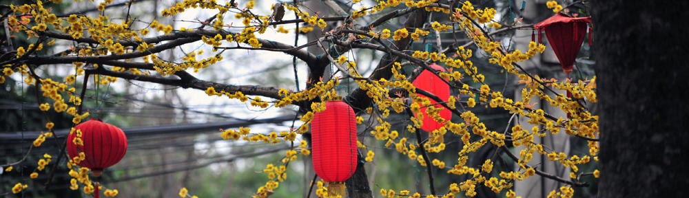
We are still loving the colour of the blossoms.
We cycled through a popular camping area that had a lovely waterfall. Across the road from the waterfall was an area of glamping tents.


The road circled around and we were able to see the waterfall from the top. There was a small pagoda at the top of the stairs which Ralf climbed while I looked after the bikes!
Shortly after this area the first climb started, it was only about a kilometre long and an elevation of 212 metres. We then dropped down into the Town of Suanbo, losing all the elevation we had gained. It was getting cooler in the hills and we stopped and I put my leggings on and my heavier jacket. Ralf put his jacket on but not his long pants.
Suanbo is a spa town. If we hadn’t made the error yesterday we would have stayed the night here. There are natural hot springs in this town and it had 26 hotels to choose from. It would have been nice to have gone into a traditional hot spring in Korea.

After Suanbo the real climbing started 5.2 kilometres with an elevation gain of 531 metres. It wasn’t a particular tough climb, (except in the last 1.5 kms, there was two 10% climbs) just long 5 kilometres of uphill is a long way uphill, fully loaded. Every kilometre there was a rest area for cyclists. We stopped 2 kms short of the summit, for a short break and then headed up to the top where there was a nice restaurant where we were able to warm up.

We asked someone to take a photo of us, this is not us being romantic and hugging we are trying to steal each others body heat!

After we went through the short tunnel we saw the Pagoda and the map of the region.


Then we headed downhill, my god it was cold. I was freezing by the time we got to the bottom. We stopped for a quick break and spotted this carving in the rocks.
 We carried on cycling for a few more kilometres in to the Town where Ralf knew there was a couple of hotels.We were not expecting this grand entrance to the small Town.
 We stopped at the first motel the Sky Motel, it is a little tired but clean. There was a sign welcoming cyclists. I checked out the room and the lady owner told us we could bring the bikes into the lobby. She asked us to sign the guestbook.
Ralf asked where there was a grocery store as we needed supplies. She kindly offered to take us to the grocery store when we had settled in. People are so kind. We were able to get everything we needed except bananas, they only had big bunches and you are not allowed to separate them.
I spent the rest of the afternoon updating the blog. I hope you are enjoying the journey along the Four Rivers Trail, we are, even with the mapping errors. We didn\’t get lost today, things are looking up.

Really enjoying the blog and this portion of your trip. Pictures are great as always. Blossoms re beautiful. Trees and shrubs are really popping out here, temps are getting much nicer. In the 70s most of next week. Had lots ago rain and high winds last week, hopefully, most of that is over. Enjoy and be safe.
It is a little chilly but really pretty with the cherry blossoms
Brilliant photo’s. The trail looks fantastic. love you both xx
South Korea is a great country to cycle in and the Cherry blossoms are amazing – Mum would have loved seeing them.
Yes she would, our little Cherry tree is in flower too. Dafs have finished and tulips just about done, I love spring xx
As we head south the cherry blossoms have almost finished, now the azealas are blooming